
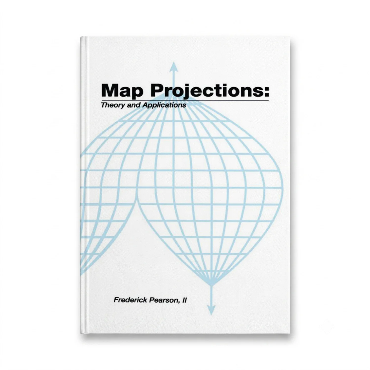

This comprehensive book on Map Projections: Theory and Applications, authored by Frederick Pearson with his extensive experience in teaching map projection at esteemed institutions like the Air Force Cartography School and Virginia Polytechnic Institute, delves into the intricacies of developing plotting equations for major map projections. The primary focus is on creating usable algorithms for computer-aided plotting and CRT display.
The text begins by stating the problem of map projection and introduces basic terminology. It reviews the essential fundamental mathematics required and develops transformation theory. Applying theories from differential geometry, it transforms a sphere or spheroid (used as models of the earth) onto selected plotting surfaces. The book provides the most current parameters to describe the figure of the Earth, including formulas for calculating meridian length, parallel length, geodetic and geocentric latitude, azimuth, and distances on the sphere or spheroid.
Equal area, conformal, and conventional projection transformations are derived, all resulting in direct transformation from geographic to Cartesian coordinates. For selected projections, inverse transformations from Cartesian to geographic coordinates are also given. The importance of avoiding distortion is highlighted through an exploration of the theory of distortion, with formulas developed for a quantitative estimate of linear, area, and angular distortions.
Extended examples are provided for several mapping problems of interest, offering practical applications. The book concludes with discussions on computer applications and efficient algorithms. It serves as an appropriate text for courses in the mathematical aspects of mapping and cartography and is relevant to a wide range of professionals, including mathematicians, engineers, surveyors, geodesists, and others involved in the field.