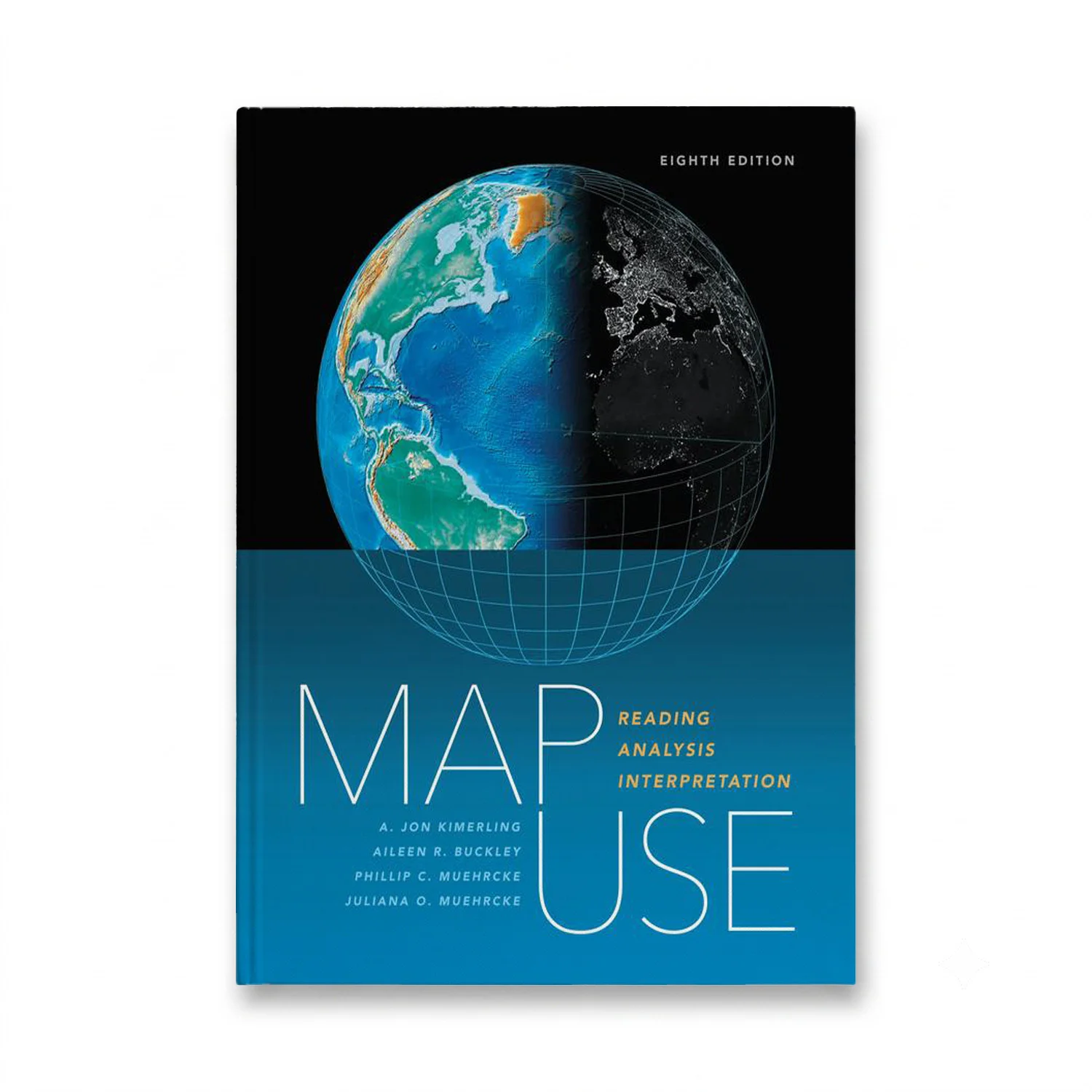
Map Use: Reading, Analysis, Interpretation, Eighth Edition by A. Jon Kimerling is a comprehensive, foundational textbook designed for the college curriculum. This updated version includes a new section on map interpretation and offers students and professional cartographers alike the knowledge and skills necessary to read and understand maps effectively. Featuring nearly 600 full-color maps, photographs, and graphs that illustrate key concepts in communicating with maps, the book also provides Powerpoint slides (available through the book resource page at https://links.esri.com/MapUseSlides) to further support classroom use. Accommodating advancements in GPS and geographic information system technology, this edition serves as an excellent introductory text for GIS courses. The book renders basic cartographic principles accessible to all, from students of cartography and map design to those without a formal education in geography.

Get it before class starts
Semester is close – start reading tonight.
Right edition guaranteed
Wrong edition or ISBN? Free swap.
Help any day, any hour
File will not open? We fix it or refund you.
Buy once, keep it
No subscription, no app, no expiry date.
