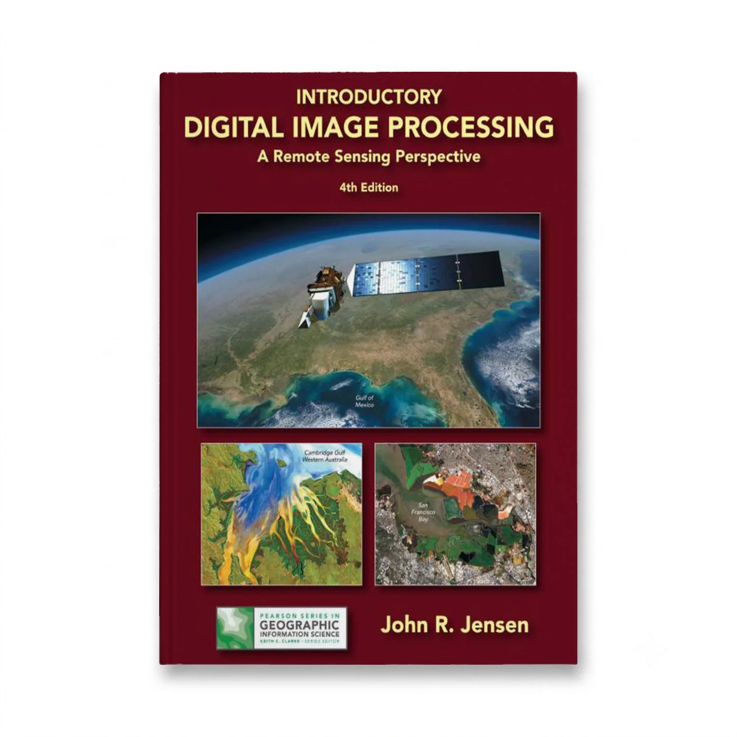
Introductory Digital Image Processing: A Remote Sensing Perspective (Pearson Series in Geographic Information Science) offers a comprehensive exploration into the analysis of digital images derived from remote sensing, particularly useful for students and professionals in Geography, Geology, Forestry, and Biology. Authored by John Jensen, this 4th edition, published on April 21, 2015, with an ISBN-13 of 978-0134058160, provides detailed insights into extracting biophysical information from satellite and airborne data for various environmental projects. The book, now in full color, includes over 650 pages packed with illustrations to aid understanding. Each chapter is enriched with a substantial reference list, serving as an invaluable resource for both academic projects and scientific research. A new appendix supplies valuable sources of imagery and geospatial information, making this edition highly practical for real-world applications in Earth resource management.

Get it before class starts
Semester is close – start reading tonight.
Right edition guaranteed
Wrong edition or ISBN? Free swap.
Help any day, any hour
File will not open? We fix it or refund you.
Buy once, keep it
No subscription, no app, no expiry date.
